 Admin
Admin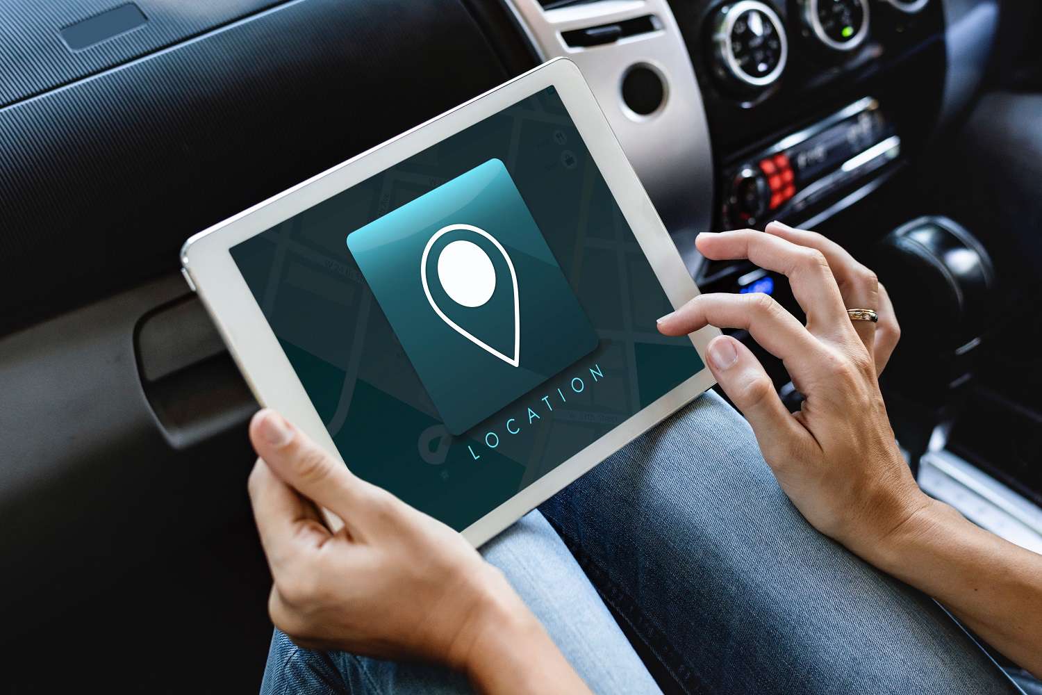
GPS, or the Global Positioning System, is a global navigation satellite system that provides location, velocity and time synchronization.GPS is everywhere. You can find GPS systems in your car, your smartphone and your watch. GPS helps you get where you are going, from point A to point B. What is GPS? Read this article to learn more about how it works, its history and future advancements.
What is GPS and how does it work?
The Global Positioning System (GPS) is a navigation system using satellites, a receiver and algorithms to synchronize location, velocity and time data for air, sea and land travel.The satellite system consists of a constellation of 24 satellites in six Earth-centered orbital planes, each with four satellites, orbiting at 13,000 miles (20,000 km) above Earth and traveling at a speed of 8,700 mph.While we only need three satellites to produce a location on earth’s surface, a fourth satellite is often used to validate the information from the other three. The fourth satellite also moves us into the third-dimension and allows us to calculate the altitude of a device.
What are the three elements of GPS?
GPS is made up of three different components, called segments, that work together to provide location information.
Space (Satellites) — The satellites circling the Earth, transmitting signals to users on geographical position and time of day.
Ground control — The Control Segment is made up of Earth-based monitor stations, master control stations and ground antenna. Control activities include tracking and operating the satellites in space and monitoring transmissions. There are monitoring stations on almost every continent in the world, including North and South America, Africa, Europe, Asia and Australia.
User equipment — GPS receivers and transmitters including items like watches, smartphones and telematic devices.
How does GPS technology work?
GPS works through a technique called trilateration. Used to calculate location, velocity and elevation, trilateration collects signals from satellites to output location information. It is often mistaken for triangulation, which is used to measure angles, not distances.
Satellites orbiting the earth send signals to be read and interpreted by a GPS device, situated on or near the earth’s surface. To calculate location, a GPS device must be able to read the signal from at least four satellites.Each satellite in the network circles the earth twice a day, and each satellite sends a unique signal, orbital parameters and time. At any given moment, a GPS device can read the signals from six or more satellites.
A single satellite broadcasts a microwave signal which is picked up by a GPS device and used to calculate the distance from the GPS device to the satellite. Since a GPS device only gives information about the distance from a satellite, a single satellite cannot provide much location information. Satellites do not give off information about angles, so the location of a GPS device could be anywhere on a sphere’s surface area.
When a satellite sends a signal, it creates a circle with a radius measured from the GPS device to the satellite.When we add a second satellite, it creates a second circle, and the location is narrowed down to one of two points where the circles intersect.With a third satellite, the device’s location can finally be determined, as the device is at the intersection of all three circles.
That said, we live in a three-dimensional world, which means that each satellite produces a sphere, not a circle. The intersection of three spheres produces two points of intersection, so the point nearest Earth is chosen.As a GPS device moves, the radius (distance to the satellite) changes. When the radius changes, new spheres are produced, giving us a new position. We can use that data, combined with the time from the satellite, to determine velocity, calculate the distance to our destination and the ETA.
What are the uses of GPS?
GPS is a powerful and dependable tool for businesses and organizations in many different industries. Surveyors, scientists, pilots, boat captains, first responders, and workers in mining and agriculture, are just some of the people who use GPS on a daily basis for work. They use GPS information for preparing accurate surveys and maps, taking precise time measurements, tracking position or location, and for navigation. GPS works at all times and in almost all weather conditions.
GPS use cases include:
Emergency Response: During an emergency or natural disaster, first responders use GPS for mapping, following and predicting weather, and keeping track of emergency personnel. In the EU and Russia, the eCall regulation relies on GLONASS technology (a GPS alternative) and telematics to send data to emergency services in the case of a vehicle crash, reducing response time. Read more about GPS tracking for first responders.
Entertainment: GPS can be incorporated into games and activities like Pokémon Go and Geocaching.
Health and fitness: Smartwatches and wearable technology can track fitness activity (such as running distance) and benchmark it against a similar demographic.
Construction, mining and off-road trucking: From locating equipment, to measuring and improving fleet asset allocation, GPS enables companies to increase return on their assets.
Check out our posts on construction vehicle tracking and off-road equipment tracking.
Transportation: Logistics companies implement telematics systems to improve driver productivity and safety. A lorry tracker can be used to support fleet route optimisation, fuel efficiency, driver safety and fleet compliance.
Leave A Reply
Your email address will not be published. Required fields are marked *